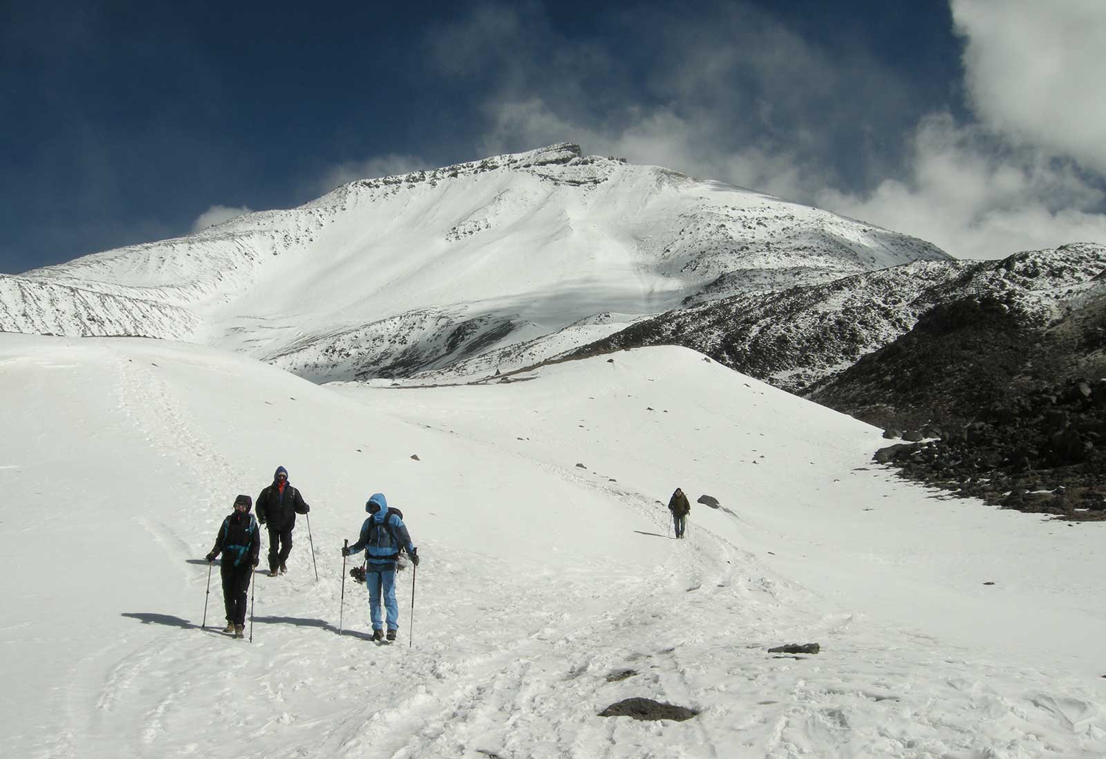
new measurement site and sediment sampling near the Camp Atacam (5800 m asl)
sediment-sampling at 6750 m asl (main crater rim)
tests of automatic regolith borehole scanning equipment (3800-5200 m asl)
ephemeral meltwater stream-, and valley analyses (5000-5500 m asl)
microbilological sampling from wet habitats (lakes, streams, 3800-5900 m asl)
Huasco valley
field trip, geomorphological and sedimentological investigations and study of the accessibility for the site determination of the planned monitoring system
installation of permanent meteorological stations at 3570 és 3950 m asl for the Laboratorio Hidrico de Huasco, Sede Vallenar
Llullaillaco region
field trip, geomorphological and sedimentological investigations and study of the accessibility for the site determination of the planned monitoring system
")